BehaViewer Concept and UX for a tool that shows where people linger in public space: from the pitch for partners to the first coded prototype.
Usually only movement through public space is measured, not whether people like to stay there. Without this data, cities lack the basis to improve squares in a targeted way.
Read moreLess
BehaViewer, a partnership between urbanista.ch and Liip, wants to change that. First, it needed funding partners and a pilot city.
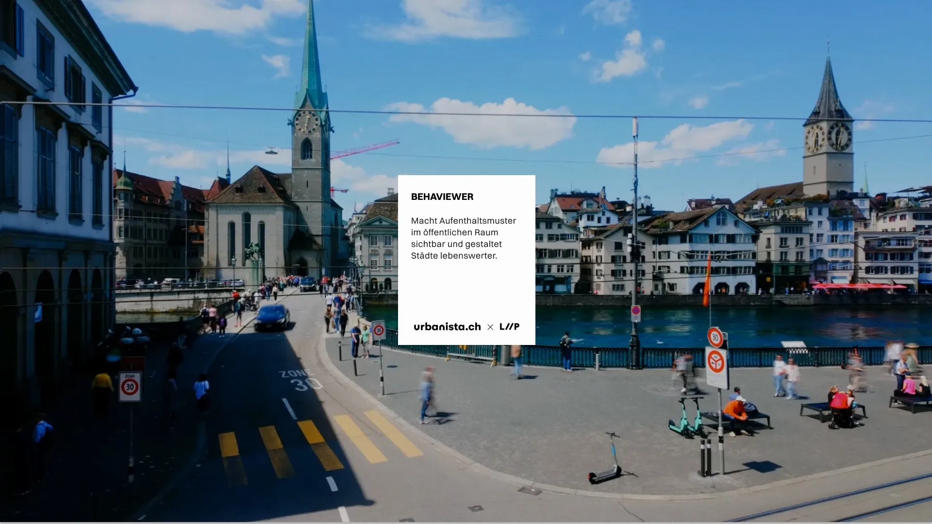
Show the tool, not slides
Idea
Instead of a slide deck, the pitch became a clickable experience with navigation like a website. Drone footage introduces the thesis; the plan of a square shows how observations turn into points.
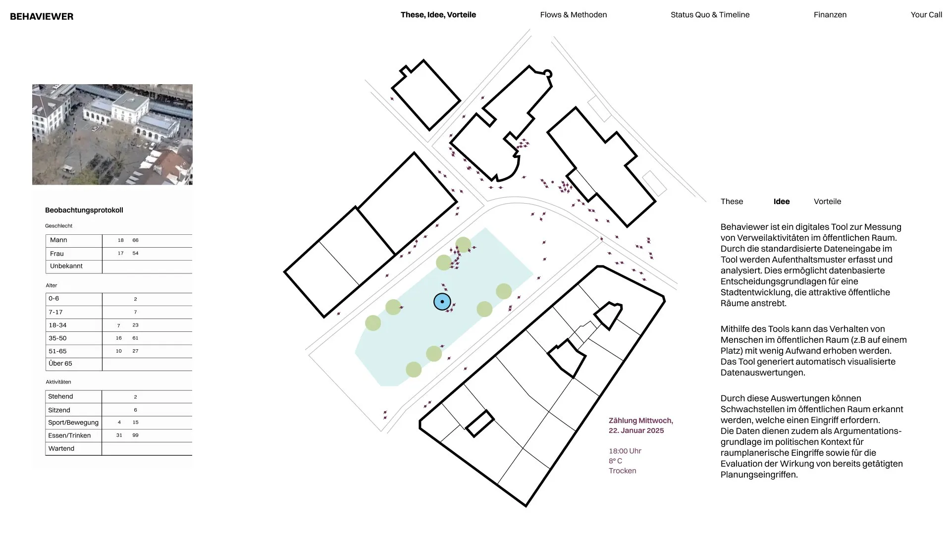
One tap per person
Record
Observers tap a person’s position on the tablet and record age, gender, posture and activity. In a next step, AI is to simplify recording based on camera images.
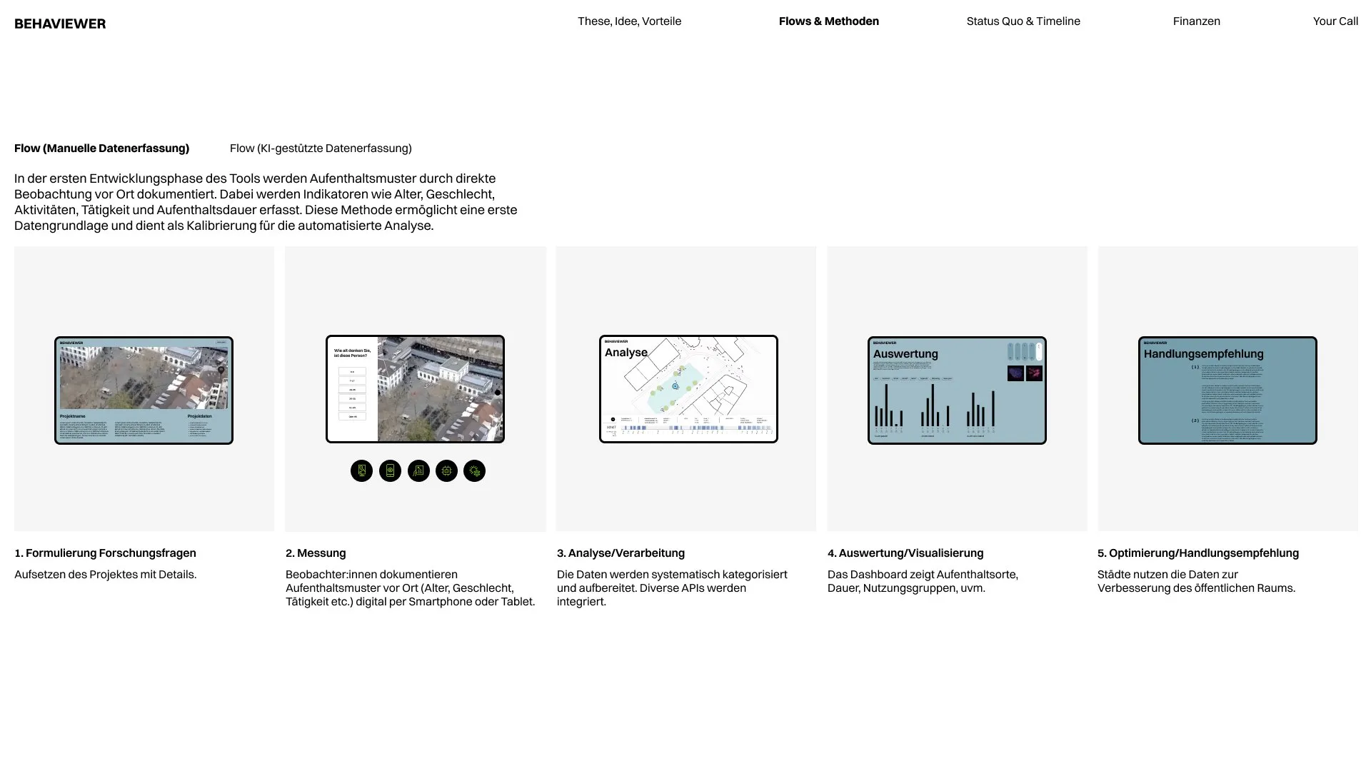
Points become patterns
Analyse
A dashboard shows where people stay over the course of the day, along with weather, length of stay and user groups. It becomes visible which parts of a square are used and which stay empty.
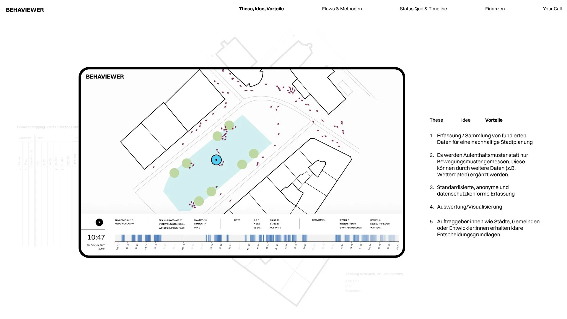
Prototype and code from the same building blocks
Decision
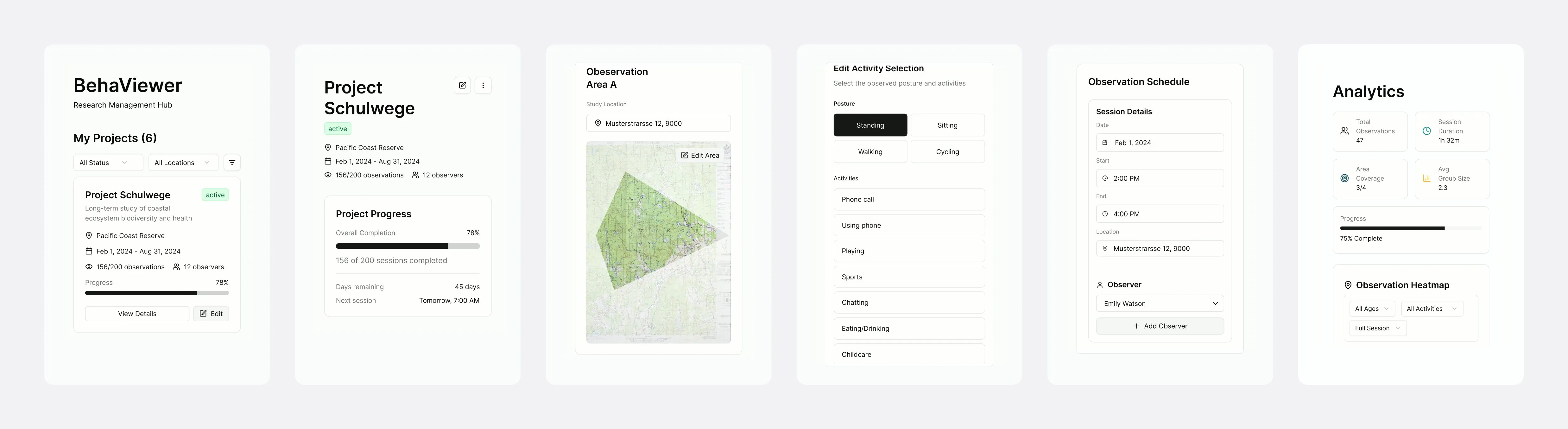
Instead of a custom visual design, prototype and code are built on shadcn. The first prototypes were made with Figma Make, and the developer continues with the same components. The first coded prototype is already in place, and what gets tested looks the same in code.
Funded,
now it is being built
Impact
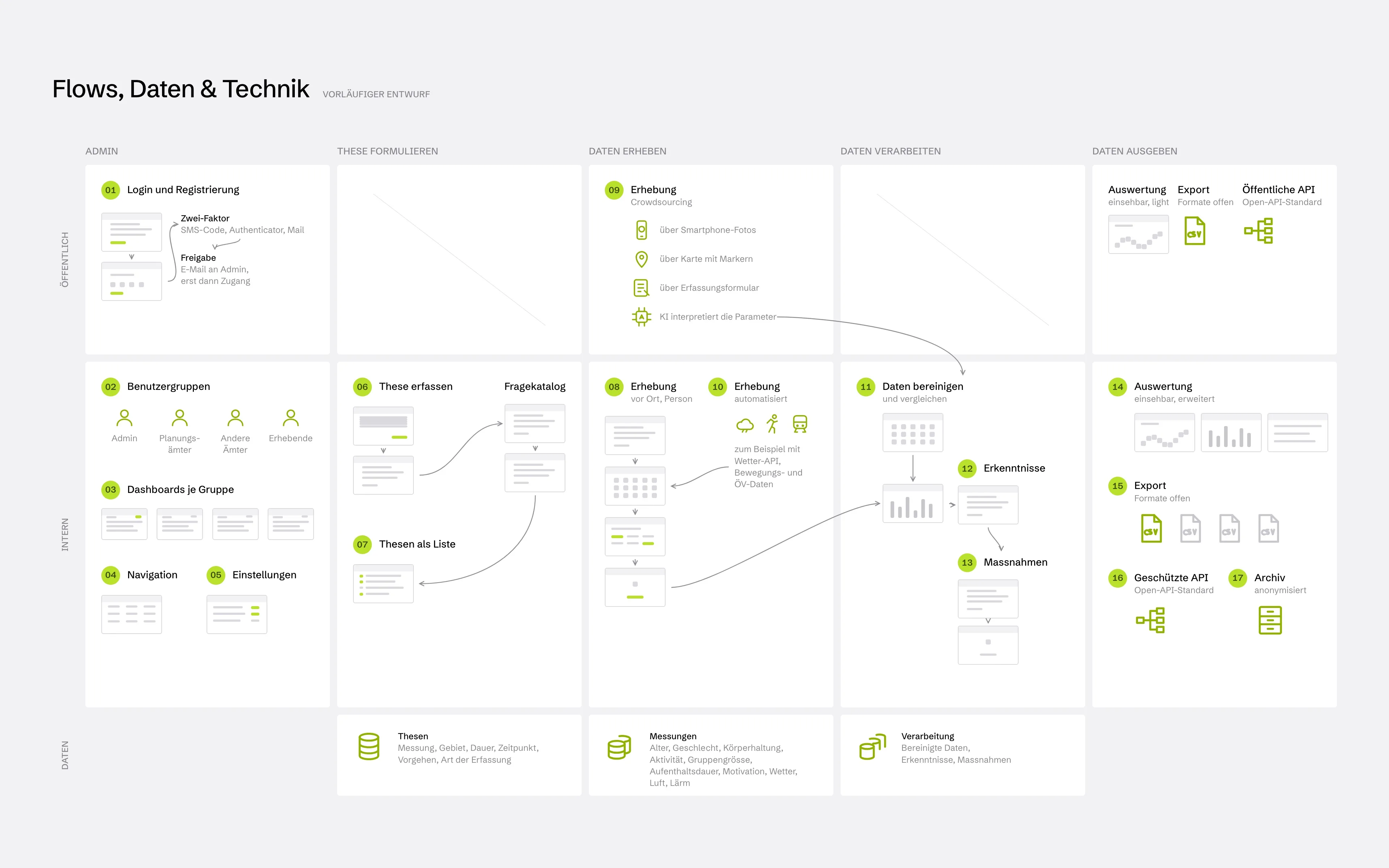
The pitch convinced: funding for a pilot project has been granted. Since then, the flows for the real tool have been taking shape. Admins set up projects, observation areas, attributes and schedules; observers record on site, mobile first.